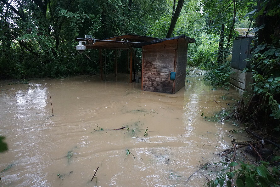
Heavy rains crossed the HOAL catchment area last week. In 24 hours, 160 mm of precipitation fell, the highest measured precipitation intensity was 57 mm / 10min. The highest measured discharge in the catchment area was > 800 l/s and the installed H-Flume there was overflowed. This was also proven by the appearance of the water level mark on the installations all around and by leaves and branches that have remained on the devices or the booth at the outlet.
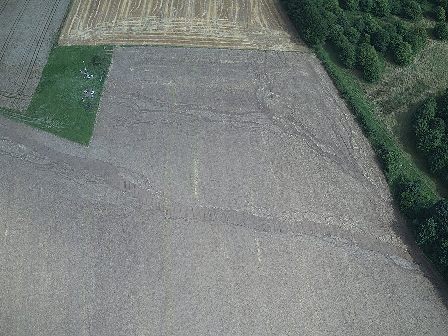
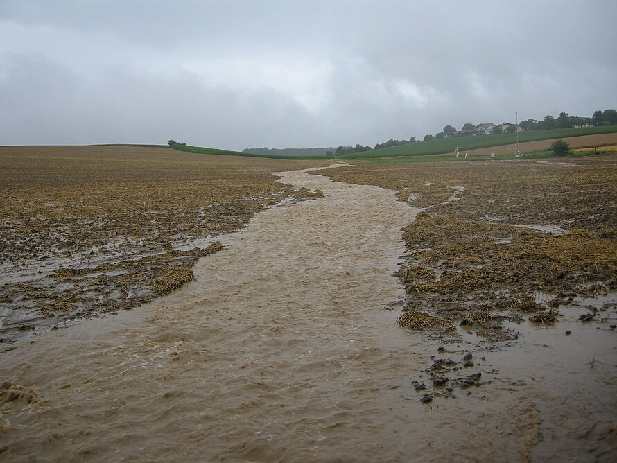
In the already harvested barley fields in the HOAL, the erosion was mainly prevented by the plant residuals (stems) that remained after the harvest. Soil management has not yet taken place. But you could see right away where overland flow occurred and that unrooted plant remains were flushed away. Also again the development of overland flow in tractor tracks could be directly visible again. Documentations on the overland runoff and erosion processes were made for an erosion study.
During this heavy precipitation event, we saw that the flow paths that occurred fit well with our modeling approaches with digital elevation models. We learned with these heavy rains, that plant residuals and vegetation cover in the field have great influences on the flow path dimensions and depressions.


