Science Questions – What are the Atmospheric and Land Use Controls on Spatial Evaporation Patterns?
Evaporation may vary significantly over short distances and it is interesting to understanding its controls at various space-time scales.
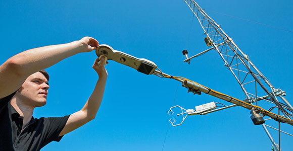
Three eddy correlation stations were set up in the HOAL. One set of instruments has been set up at the weather station location. Additionally, two mobile stations are deployed based on a site rotation plan to optimise the locations for each sensor relating to the factors of interest; topography, soil type and moisture and vegetation. Scintillometer measurements of aggregated fluxes over a line of about 150 m are made for comparison to obtain momentum flux, sensible heat flux and information on the turbulent parameters of the air.
The data are compared with numerical simulations of the atmospheric processes to ascertain that the controls identified are generalisable to other land surface conditions.
Field campaigns dedicated to measuring transpiration and bare soil evaporation separately in a field of maize shed light on the role of vegetation in total catchment evaporation.


