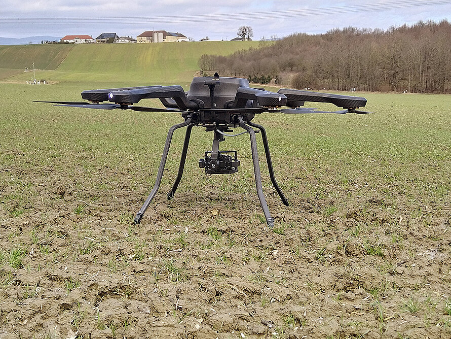
The use of drones for the recording of soil erosion is one of the most suitable technologies for capturing soil erosion. It allows for the quick, precise, and cost-effective assessment of the surface and its structure. Through the use of drones in combination with specialized software programs, data can be collected about the ground and its properties. The drone surveys can be used to observe the extent of soil erosion over time.
By using high-resolution cameras installed on the drone, detailed images can be provided which allow for the detection of changes in the surface. By conducting regular flights, changes can be observed over a longer period of time. In this way, trends and patterns can be identified, and thus which parameters are decisive for the occurrence of erosion processes. This knowledge can then be applied to the development of strategies for combating soil erosion. For this purpose, a drone has been acquired, and initial test flights have already been conducted at the HOAL Petzenkirchen.

